


Featured Activities
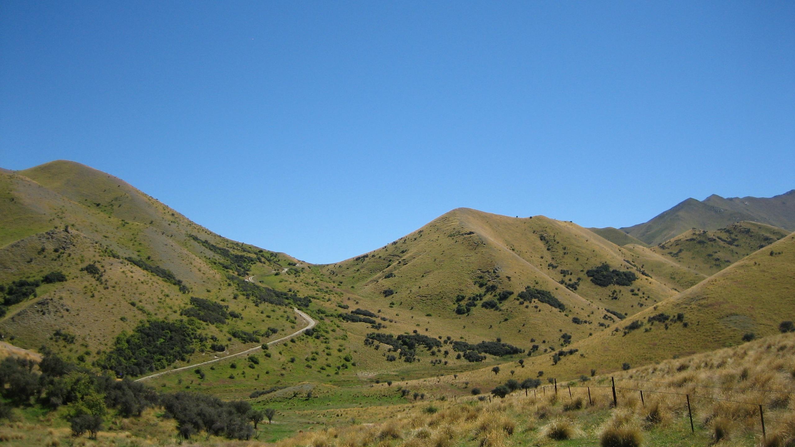
Chain Hills and Coal Creek Conservation Area Turnoff SH8 onto Goodger Road and, depending on the season and road condition, drive along the unsealed road to the Tim Burn or Pleasant Valley car parks. You can walk, run or bike from either car park, Each has a panel with a map of the area and its tracks. The small Coal Creek Conservation Area protects a native fishery. NB The Pleasant Valley car park and the public access tracks that extend from it are closed for lambing from 10 October to 5 December each year. The route along Dunstan Creek follows the marginal strip, the farm track is private.
Note. The Pleasant Valley car park and the public access tracks that extend from it are closed for lambing from 10 October to 5 December each year. The route along Dunstan Creek follows the marginal strip, the farm track is private.