


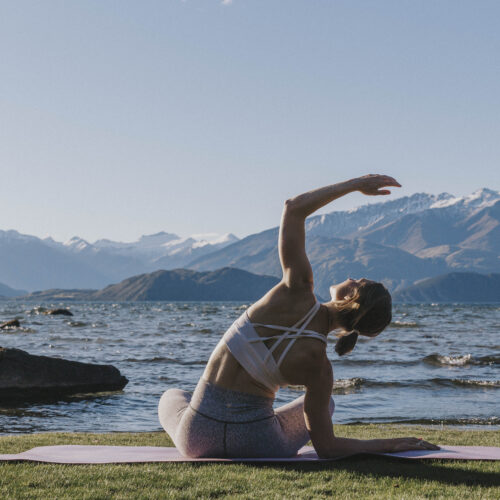
Featured Activities
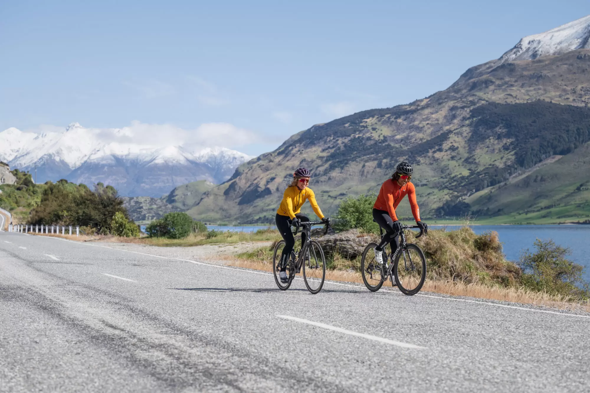
The open road awaits. Ride scenic, winding roads with epic views, rolling hills, fast flats and high mountain passes to climb. Check out some of our favourite road cycling routes below.
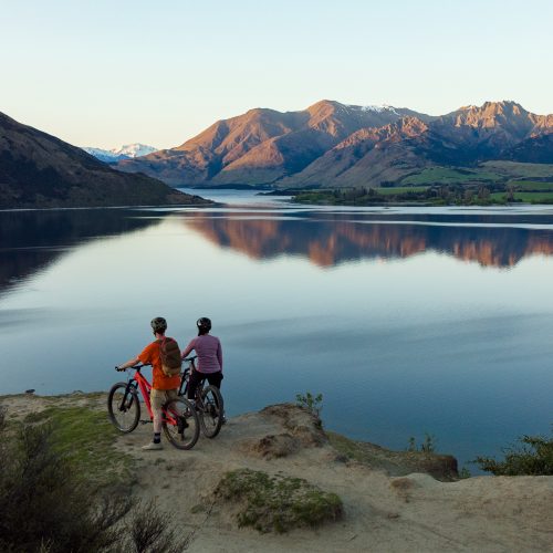
This is a classic, must-do Wānaka ride that follows the shoreline of the lake and offers spectacular lake and mountain views. The rolling terrain makes for great road riding, with several fast flats which are irresistible for testing your sprinting legs.
From the lakefront in Wānaka head West and follow Mount Aspiring Road, past Glendhu Bay and its iconic view of Mount Aspiring, until you reach Treble Cone ski area turn off and the sealed road becomes gravel (approx. 22kms). Turn around here and head back along the same road for coffee in Wānaka!
From Wānaka head east out of town on SH84, past Puzzling World and then take SH6 towards the West Coast & Hāwea. Continue SH6, over Maungawera Hill (more of a bump than a hill) and turn right over the dam when you reach Lake Hāwea. Follow the lakefront and turn left onto Cemetery Road; then right onto Gladstone Road which continues to become Kane Road. Cross the Clutha River over the iconic Red Bridge, right onto Short Cut Road and then right again onto SH6 for the ride back into Wānaka.
Check out the Google Map of the ride here.
This must be one of the most spectacular road bike rides in New Zealand and offers epic lake and mountain scenery. The road sidles along the shore of Lake Hāwea for much of the ride and the terrain is generally rolling with only one climb of any note – up to the Lake Hāwea viewpoint.
Follow SH6 from Wānaka towards the West Coast, hugging the shoreline of Lake Hāwea until you reach The Neck, a narrow isthmus which separates Lakes Wānaka and Hāwea. Turn around here for an 80km return ride from Wānaka, or continue to Makarora and even Haast Pass for even more spectacular scenery and views of Mt Aspiring National Park (the road does get hillier from The Neck onwards).
A fast, mostly flat ride through the Upper Clutha River valley which offers diverse views ranging from the snow-capped peaks of the Southern Alps to the golden hills of Central Otago.
Departing Wānaka, follow SH6 east past Wanaka Airport before turning left onto SH8A which is signposted to Christchurch and Mt Cook. Continue on SH8A, crossing the Clutha River at Red Bridge, and turning right on SH8A just after the bridge. A fast, mostly flat section of road brings you to the intersection with SH8. Turn left to Tarras (1km) if you need a coffee, or turn right if you want to keep riding. If you’ve turned right, stay on SH8 for a few kilometres until you cross a one lane bridge and then turn onto Ardgour Road. This is a superb section of quiet, rural road and will loop around to bring you out at Tarras and the second chance for a coffee! Return to Wānaka via the same route, or if you want to put some more miles into your legs, you can head South from Tarras towards Cromwell for a lap of Lake Dunstan.
A classic hill climb over New Zealand’s highest sealed road – the Crown Range mountain pass between Wānaka and Queenstown.
Leaving Wānaka lakefront, simply follow the Cardrona Valley Road south for 45kms until you reach the lookout at the top!
Wānaka to Cardrona is 25kms of false flat through farmland which eases you into the more challenging part of the climb, but which only starts to get steep in the last 5kms before the summit which is at 1,121m altitude. From the top, enjoy the downhill all the way back to Wanaka, or if you feel like some more punishment, head down the other side of the hill for coffee in Arrowtown and then back up the shorter, but much steeper switchbacks to the top again.