


Featured Activities
***Track is currently close from 20th Nov – 20th Dec ***
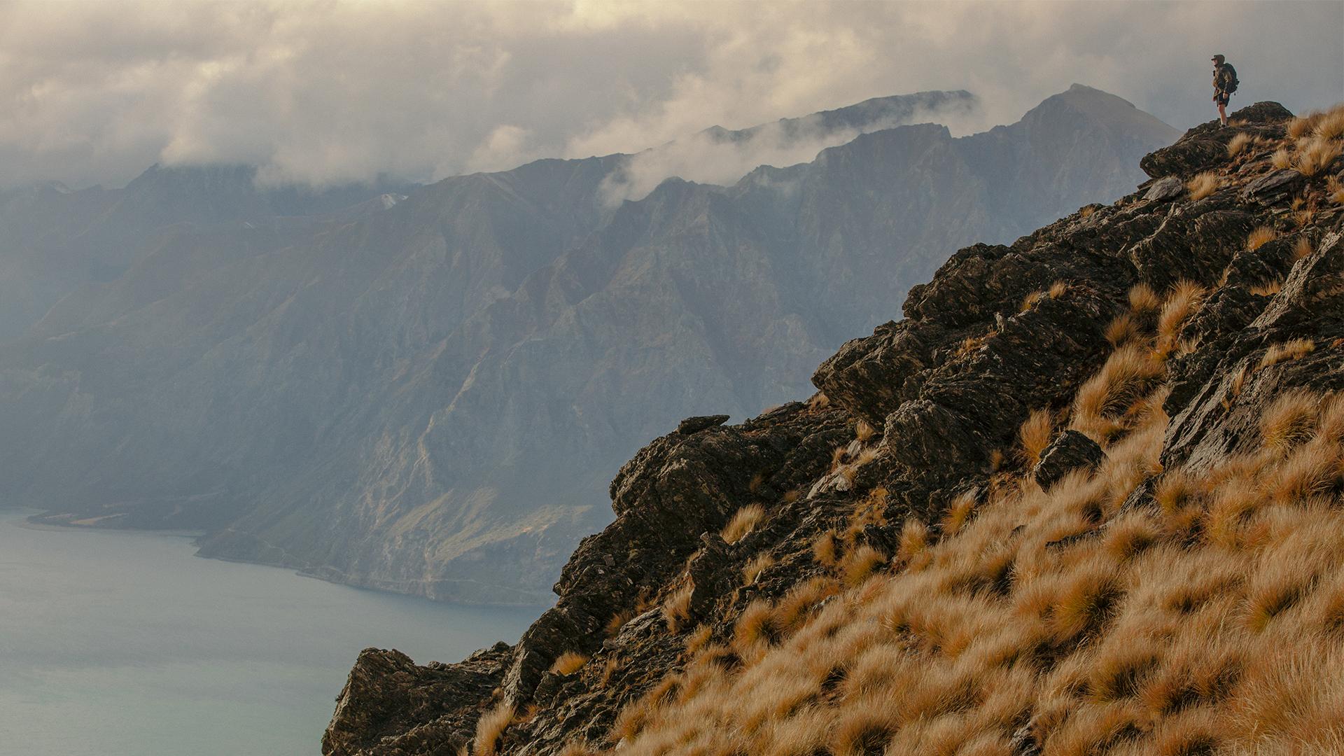
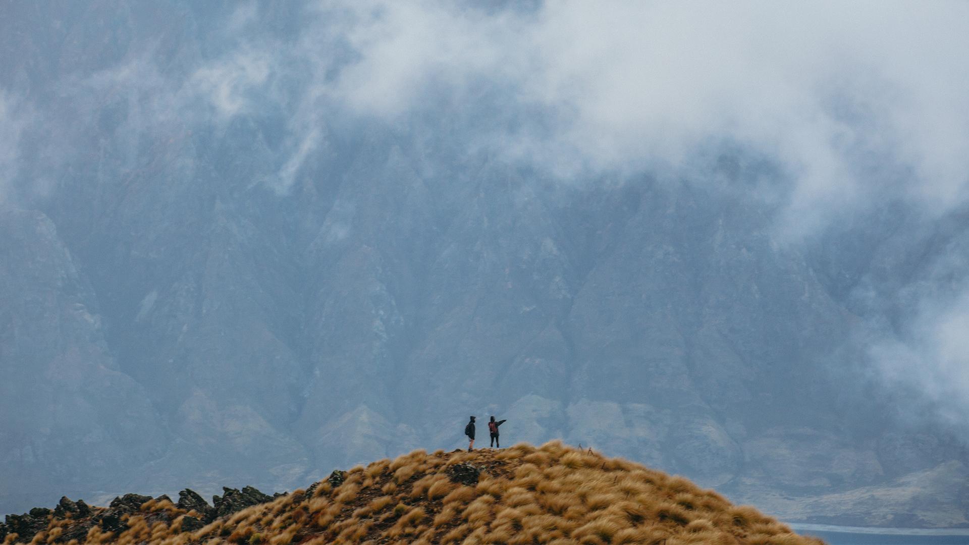
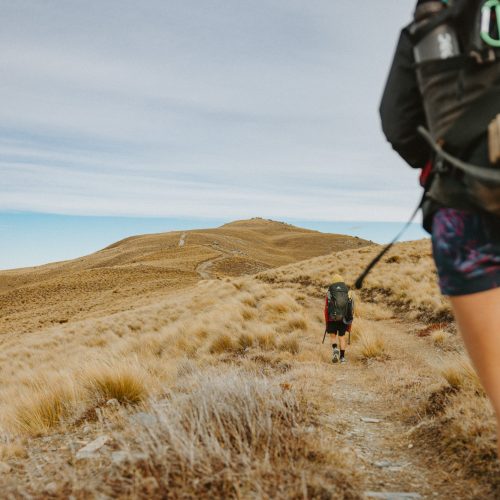
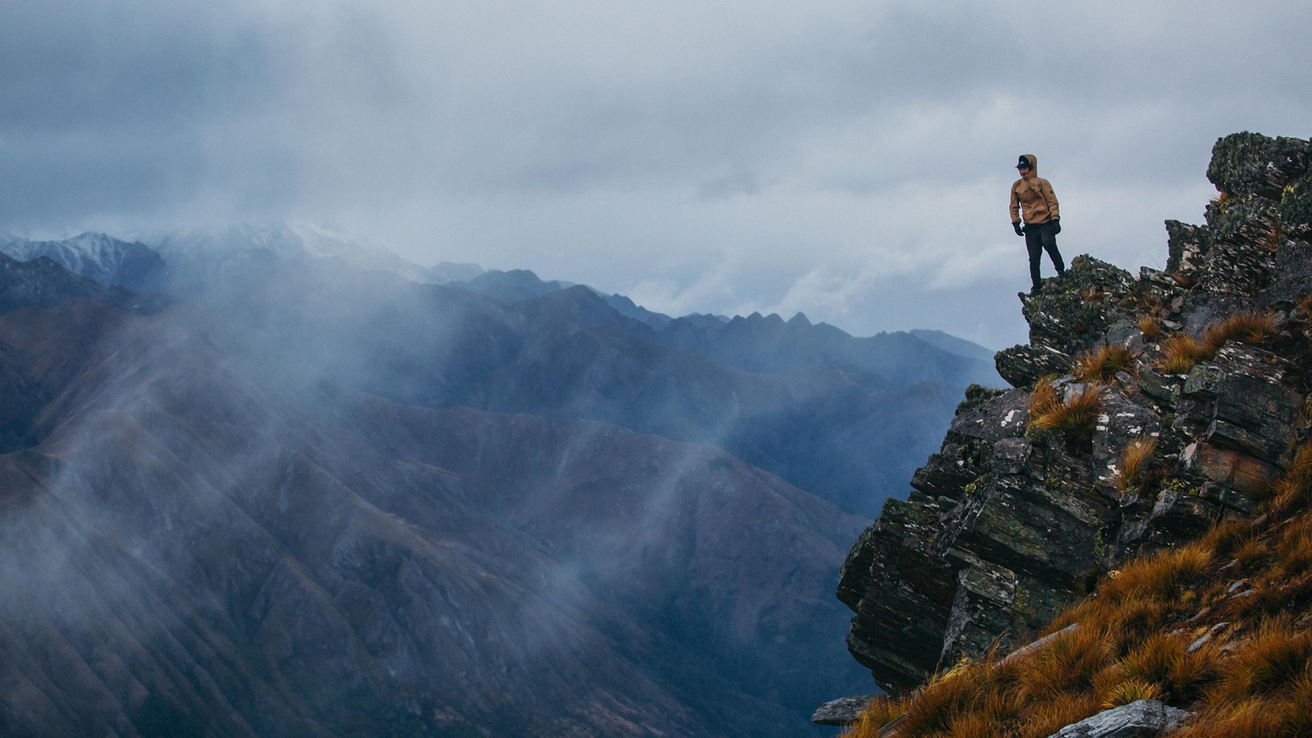
This track is signposted just south of Stewart Creek on SH6. Follow the poled route along the creek until it joins a farm track. From here its a steep, winding, rocky climb to a skyline ridge, with sections where bikers will need to dismount and push. A sign on the ridge points right to the track to 1,385-metre Isthmus Peak, and left, along the exposed ridge to the Matatiaho Conservation Area. Mountain biking permitted.
Notes: Closed for fawning from 20th November to 20th December, check with Department of Conservation for track status. Not recommended in winter due to snow and ice. No water available on the track, so carry plenty of water with you.
Download the Wānaka Tracks App to help you choose the best track for you. Available on Apple and Android